
Huaihe River authorities drive flow of new safety measures


Disasters
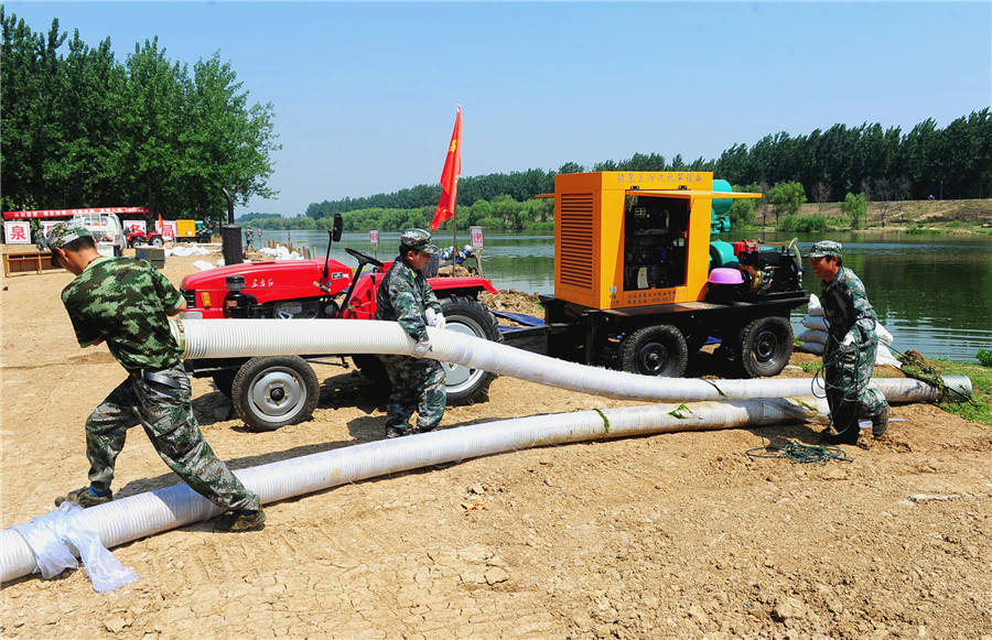
When the water level breaches the banks of the Huaihe in Funan, authorities have the option of opening the sluice gates - built in 1953 - to let the excess flow into a 180-square-kilometer basin called the Mengwa Flood Diversion Area, administered by Fuyang city and home to more than 195,000 people.
The area, which can hold nearly 700 million cubic meters of water, has been flooded deliberately 15 times in 12 nonconsecutive years.
"The water covers everything. During flooding in 1991 and 2003, I could barely see the roofs of the houses," said Wang, adding that the gates were opened twice in 1991 and 2003 - when the water receded temporarily before rising again - and once in 2007, the last time the area flooded.
Located about midway between the Yellow and Yangtze rivers, the country's two longest watercourses, the Huaihe, along with the Qinling Mountains to the west, is regarded as the dividing line between North and South China.
It runs through Henan, Anhui, Jiangsu and Shandong provinces.
Rising in the mountains of Henan, the upper section runs for 364 kilometers and drops 178 meters over that distance, according to the Huaihe River Commission of the Ministry of Water Resources.
By contrast, the middle reaches, mostly in Anhui, lie between the Wangjiaba sluice gates and Hongze Lake in Jiangsu. The stretch is 490 km long and it drops a mere 16 m, according to the commission, which was founded in 1950 and is headquartered in Bengbu, a riverside city in Anhui, employing more than 3,000 people.
"It was founded because harnessing this long river required the coordinated efforts of governments in different areas," said Wu Xu, a commission expert.
The Huaihe historically drained directly into the Yellow Sea, but floods have changed its course so much that it is now a major tributary of the Yangtze.
For thousands of years, the Yellow River to the north repeatedly altered course southwards to run into the Huaihe, creating new highlands and lakes, including Hongze Lake, the largest body of water in the Huaihe's drainage area. "The bed of Hongze Lake is actually higher than the bottom of the Huaihe," Wu said.
Floodwater runs rapidly along the upper section in Henan into Anhui, but it is unable to pass easily through the middle reaches and into the Yangtze, he added.


