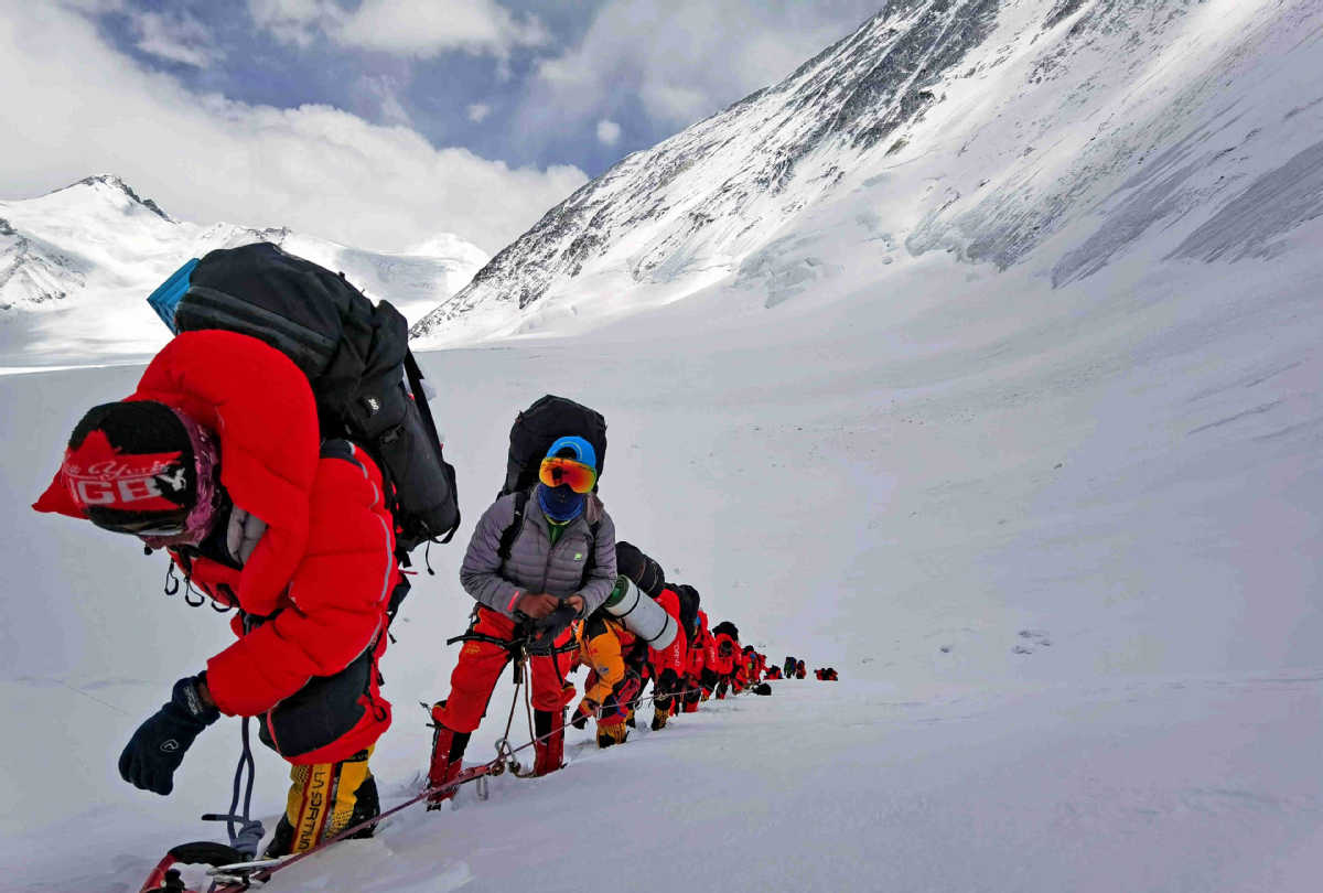
Peak performance


Expedition to survey Qomolangma a landmark for Chinese ingenuity
China launched a campaign on April 30 to measure the height of Qomolangma, which is known in the West as Mount Everest. The mission, headed by the Ministry of Natural Resources, was conducted by the 1st Geodetic Surveying Brigade and members of the China Mountaineering Team and took nearly a month to complete.
On May 6, a team of 30 surveyors and mountaineers started out from base camp on the mountain's north side in the Tibet autonomous region. Twenty-one days later eight of the mountaineers reached the summit and spent two hours conducting surveys and collecting materials.
The expedition witnessed a number of technical innovations including the use of the Beidou Navigation Satellite System and advanced domestic surveying and mapping instruments.
The ascent also set scientific and mountaineering records, among them a new world record for the highest gravity survey, which helped establish the precise height of Qomolangma, the world's highest mountain.


