Surveyor rises to occasion again in Tibet


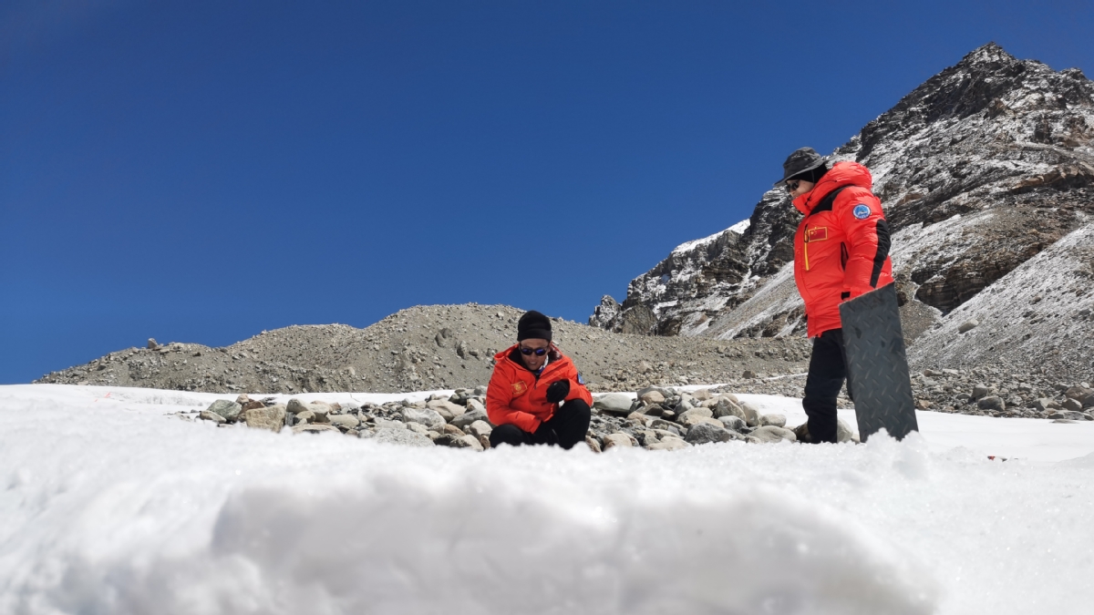
Different from regular mountaineering teams, the surveying brigade had its own second base camp at 5,300 meters, and the surveyors stationed there provide supplies for each position where measurements were taken.
"Sometimes, when we're on the mountain, telecommunications don't work, and our colleagues at the second base camp will take care of that," Bai said. "Also the second base camp is the juncture for transporting supplies. The measuring spots are six in total; three in the west and three in the east."
According to Bai, the surveying brigade also needs to conduct comparative analyses of the results by using different satellite systems, such as Beidou and GPS.
"Through multiple observations conducted at the same time, the more satellites we've been synchronously using, the more accurate our measurements will be," Bai said.
As the weather on Qomolangma may change at any time, obtaining the best meteorological information helped with the accuracy of measurements, he said.
Despite meticulous planning and preparation, the survey team sometimes encountered problems beyond their control.
In December 2019, during a mapping task conducted in Lhasa, the radar signal was interfered with and the drawing didn't match the actual mapping.
Over the past 20 years, Bai has had little time for himself and said he only spends three months a year at home.
While he enjoyed doing the remote fieldwork when he was young, his job now entails more responsibilities.
"But it's gratifying that we are using and going to use more and more advanced products made in China now and in the future," he said.
For the record, until the next expedition, Qomolangma is 8848.86 meters above sea level.
Wang Mengnan in Xi'an contributed to this story.


