


More red lines drawn to protect environment


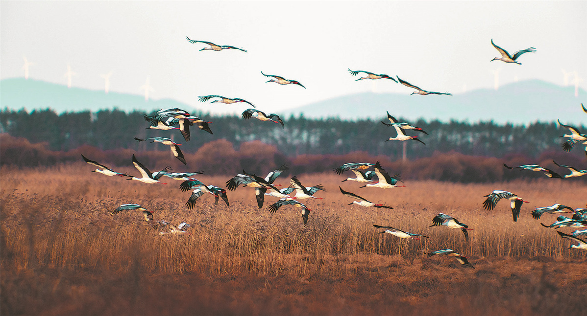
The Chinese central government has drawn red lines around 3.15 million square kilometers of land for conservation purposes, according to the Ministry of Natural Resources.
The "red lines" refer to spatial boundaries that must be strictly observed in terms of protecting the environment and natural resources, and now enclose around 30 percent of the country's surface area.
Delineated aquatic areas amounting to 150,000 sq km are located mostly in the Qinghai-Tibet Plateau, along the Yellow and Yangtze rivers, the northeastern forest belt and the northern sand control belt.
Nature reserves cover about 1.8 million sq km and areas including those with extremely important environmental functions such as water conservation, biodiversity maintenance, soil and water conservation, wind protection and sand fixation, and coastal protection outside nature reserves, cover 850,000 sq km.


- Xi'an workshop lets tourists hand-make their own Terracotta Warriors
- Xinjiang's Changji welcomes visitors with festive Spring Festival flavors
- Guizhou seed specialist helps Nigerian farmers develop rice cultivation
- Ministry refines safety measures ahead of Spring Festival holiday
- Chinese scientists awarded for sci-tech innovation and leadership in frontier research
- Bilingual tour guide turns passion into dream career


