


 |
|
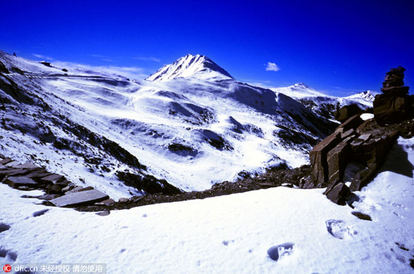
A photo of the perennially snow-capped Jiajin Mountain taken on Aug 12, 2003. [Photo/IC] |
Meanwhile, other factors cannot be ignored in the calculation.
First, what the Red Army launched was a mobile warfare. They had to make detours and repetitive moves. The case of the 37th regiment of the Fifth Corps during Red Army's successful attempt of traversing the perennially snow-capped Jiajin Mountain and then climbing it again is an example.
It was in June 1935 when the regiment had already reached the other side of the mountain that it was ordered to climb back again to cover the main forces of the Central Army and block the shadowing enemy's attack.
Second, the Red Army had to raise fund and introduce themselves to the local people who had not heard of them. To do that, the soldiers had to walk many miles to meet the locals. According to Xiao Feng's dairy dated Nov 11, 1934, he was responsible for recruiting more soldiers and raising money when the army was recuperating in Baishidu county in Hubei province. On that day, he himself had walked for 65 li.
Third, during the Long March, particularly in its early stage, the Red Army frequently took the wrong route due to lack of maps. One case was recorded in Chen Bojun's diary on Dec 8, 1934, indicating that the 38th regiment was lost in wrong direction.