| About Hubei | Culture & Arts | ||
| Attractions | Routes | ||
| Dining | Shopping | ||
| Hotels | Transportation | ||
| Entertainment | Travel agencies |
Jingshan to attract Wuhan tourists
Storytelling queen
For the love of Wuhan
Dangyang to promote tourism


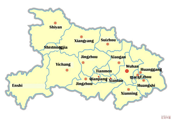
Map of Hubei
Updated: 2011-12-16