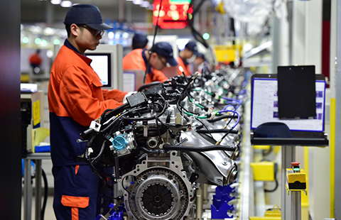
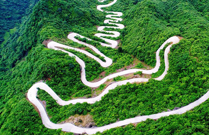
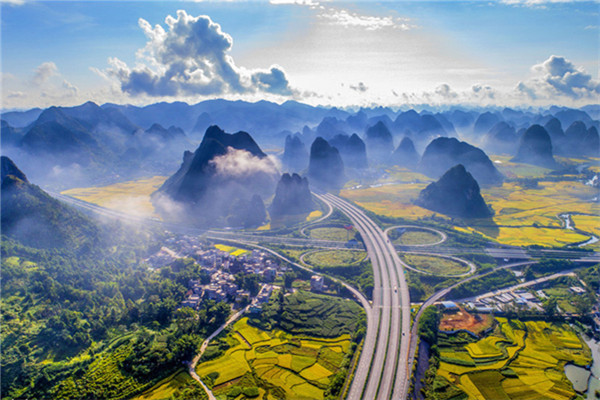
Aerial view of Yangtze River Economic Belt
 |
|
Photo taken on April 14, 2017 shows a night view of Lujiazui in East China's Shanghai.The Yangtze, the world's third-longest river, runs through nine Chinese provinces and two municipalities, covering 2.05 million square km. The Yangtze River Economic Belt, which accounts for more than 40 percent of both the national population and GDP, is a new growth engine for the country, reducing the development gap between east, central and western regions.[Photo/Xinhua] |


