Europe launches Aeolus satellite to map earth's winds
Xinhua | Updated: 2018-08-23 11:27


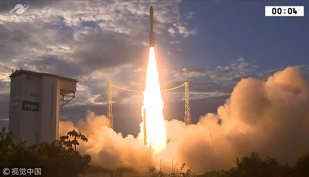
PARIS - European satellite launch company Arianespace on Wednesday successfully launched a new weather satellite to measure Earth's winds on a global scale.
After a 24-hour delay caused by strong winds, Aeolus lifted off on an Arianespace Vega rocket from the Guiana Space Center, Europe's spaceport in French Guiana, at 6:20 pm local time (2120 GMT).
"Vega lofted its passenger during a flight lasting just under 55 minutes, with Aeolus placed into a Sun-synchronous orbit," the company said in a statement.
Aeolus, named after the ruler of winds in Greek mythology, will be placed at an altitude of 320 km above Earth.
According to Arianespace, it is the first space mission designed to measure wind profiles across the entire planet. The satellite will deliver data and 3D dynamic maps that will help improve weather forecasting and climate research.
Also, Aeolus carries a single instrument, ALADIN, an atmospheric laser Doppler instrument, to probe the atmosphere with pioneering ultraviolet laser pulses. The findings will enhance understanding of tropical dynamics and climate variability.
Related Stories


Editor's Pick