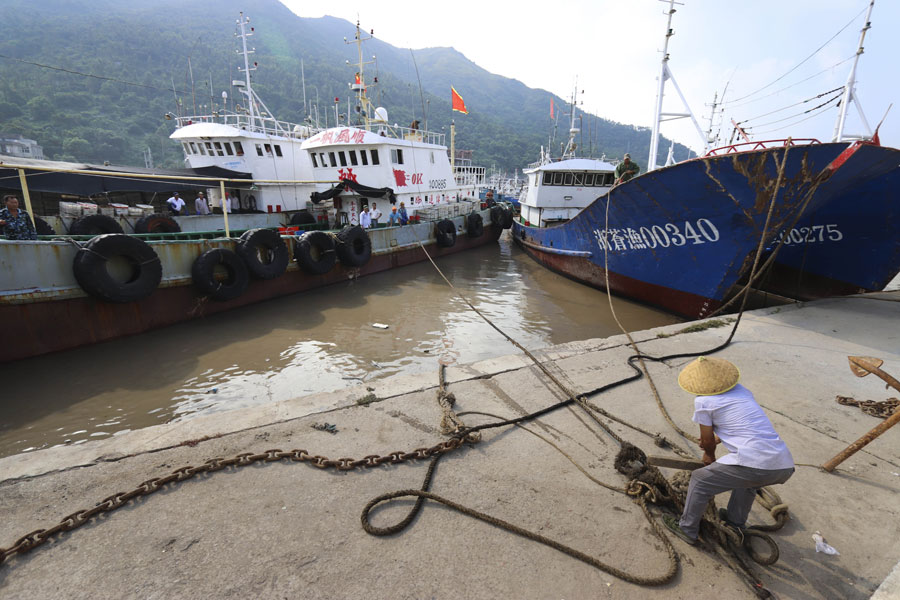
East China put on alert for Typhoon Yagi
By ZHANG ZHIHAO | China Daily | Updated: 2018-08-13 07:28

As Shanghai braces for its third typhoon in a month, experts are blaming the extreme weather in eastern China on an unusually strong belt of atmospheric high pressure that has been moving northward since July.
Shanghai's Meteorological Service has issued yellow alerts-the third level of China's four-tier color-coded warning system-for heavy rains and thunderstorms, with Typhoon Yagi expected to make landfall in Zhejiang province on late Sunday night.
The area was already battered by typhoons Ampil on July 22 and Jongdari on Aug 3.
Yagi, the 14th typhoon this year, is expected to dump more than 50 millimeters of rain during overnight thunderstorms until Monday morning, the city weather bureau said.
Zhang Ruiyi, chief service officer at the Shanghai Meteorological Service, said Zhejiang and its surrounding provinces have rarely been struck by so many typhoons in such a short time.
From 1949 to August 2017, only 49 typhoons landed in Zhejiang and its surrounding provinces. Guangdong province had 166 typhoons in the same period, according to national data.
The cause of this rare weather seems to be an unusually strong subtropical ridge that has been moving north from southern China since July, away from its typical spot around Fujian province and the island of Taiwan, Zhang said.
"The ridge can affect the path of typhoons as they follow along its edge," Zhang said. "This year's ridge has also moved more to the north than usual, so typhoons that typically hit southern parts of China are also moving north."
On Sunday, the National Meteorological Center renewed its yellow alert for the typhoon, the second lowest level warning.
It also issued a yellow alert for heavy rain from Sunday to Monday morning, as heavy rain is expected in parts of Beijing, Shanghai and Tianjin as well as the provinces of Anhui, Guangdong, Hainan, Hebei, Jilin, Jiangsu, Liaoning, Qinghai, Shanxi, Yunnan and Zhejiang.
Some areas in Guangdong, Hainan, Jiangsu and Zhejiang will receive up to 200 mm of rainfall within a day, the center said. Typhoon Leepi, the 15th typhoon this year, formed in the western Pacific Ocean on Saturday, but it is not expected to affect China's coastline over the next three days.
Li Qiang, Party secretary of Shanghai, urged city officials on Saturday to take full precautions against Yagi, including increasing safety supervision at transit sites and public areas, enhancing weather forecasts and keeping the public well informed.
On Sunday, the ecological park and urban beaches in Shanghai's southwestern Jinshan district were closed. The government of southern Fengxian district placed a 5,100-strong disaster response team on standby.
By 6 pm on Sunday, Yagi's center was moving across the southern waters of the East China Sea packing a top wind speed of 90 kilometers per hour. It was located about 200 km southeast of Taizhou, Zhejiang province, the center said.
The typhoon will head toward the northwest at about 35 km/h and gradually increase in force, the center said. It will make landfall between the cities of Ruian and Xiangshan in Zhejiang on Sunday night.
Yagi will continue moving northwest after landing, and its force is expected to dwindle to a tropical depression by 5 pm Monday as it leaves northwestern Anhui province and enters Henan province, the center said.
State Flood Control and Drought Relief Headquarters issued a Class IV emergency protocol, the highest of a four-tier system, for typhoon relief measures on Saturday night. The headquarters has also dispatched three working groups to Shanghai, and Zhejiang and Jiangsu provinces, to aid relief efforts.


