Old Summer Palace map returned to original site
By Wang Kaihao | chinadaily.com.cn | Updated: 2021-02-23 10:17

An old and rare map of the Yuanmingyuan ruins was recently donated to the administration of the former imperial resort in Beijing, and released to media on Monday.
The colored map was drawn in 1933 according to a scientific survey of architectural ruins and topography within the compound, the first of its kind in the history of Yuanmingyuan. It was collected by Kang Mu, a Beijing citizen whose family bought it in 1956.
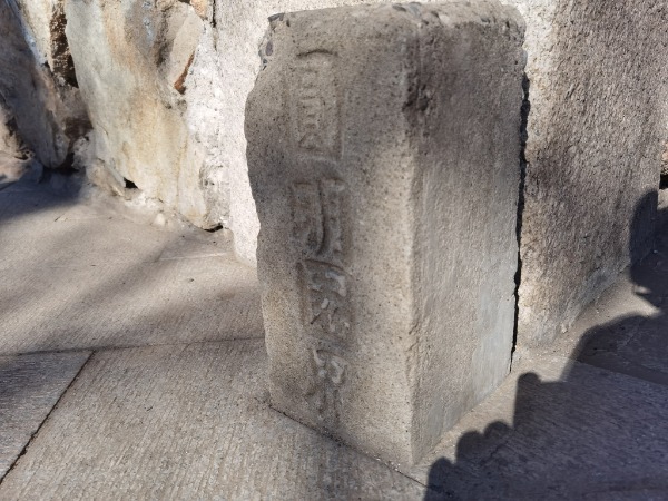
Yuanmingyuan, also known as the Old Summer Palace, was first built in 1707. Covering over 350 hectares, it was the imperial resort during the Qing Dynasty (1644-1911) and has been generally considered the peak of Chinese garden art.
In 1860, it was ransacked and burned down by invading Anglo-French forces, and gradually fell into ruin in subsequent decades as a symbol of China's national pain.
Nevertheless, as the map shows, a large-scale research project on Yuanmingyuan was launched in 1931. Though most architectural remains above the ground in Yuanmingyuan were hardly recognizable, researchers organized by the then-government in Beijing referred to detailed underground surveys to get a specific layout of its former splendor.

A plan to protect the ruins was even drafted in the 1930s, according to Liu Yang, deputy director of the Beijing History, Geography, and Folk Custom Society, but it was never followed due to later wars.
Some of the ruins were further destroyed in the 1940s, Liu points out, and the map thus became a foundation for modern studies and the restoration of its basic landscape to a historically accurate state.
According to archives of the Yuanmingyuan ruins park, only three such 1933 edition maps were previously known to have survived, including one in the National Library of China. The newly donated piece is the first to return to the original surveying site.


