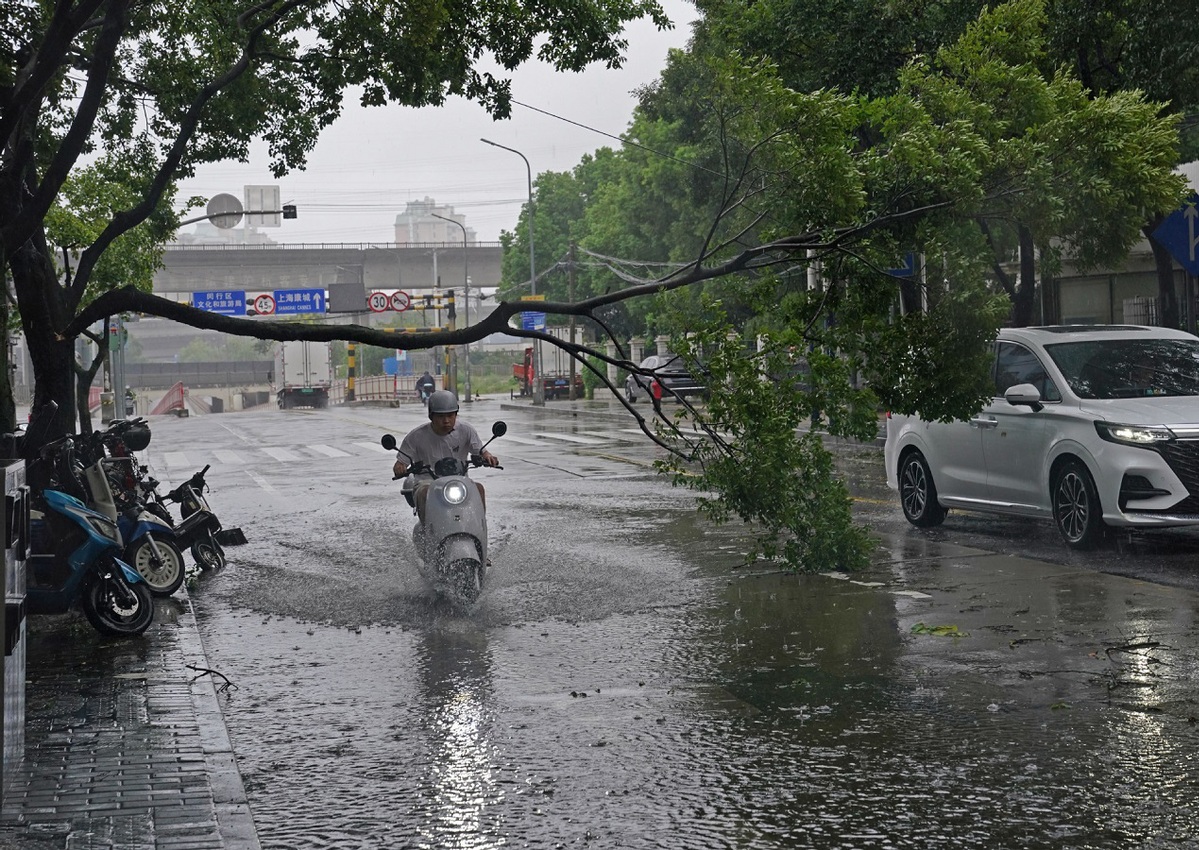
Bebinca on the wane after deadly strike
Two die in Jiangsu as torrential rain and high winds batter eastern China
By Zhao Yimeng | China Daily | Updated: 2024-09-18 08:59

Typhoon Bebinca, the 13th typhoon of the year and the strongest to make landfall in Shanghai since 1949, weakened to a tropical storm after moving on to Chuzhou in Anhui province early on Tuesday morning.
It landed in Shanghai on Monday morning, lashing the city and neighboring provinces with gales and torrential rain, the China Meteorological Administration reported.
Two people died after being electrocuted as Bebinca passed through Kunshan in Jiangsu province. A 10-kilovolt power line was brought down by strong winds on Monday afternoon, resulting in the deaths of two residents passing through the area, the local authorities said.
The storm was expected to move northwest at around 15 kilometers per hour, further weakening to a tropical depression as it entered Henan province on Tuesday night.
From 8 am on Tuesday to 8 am on Wednesday, heavy to torrential rain was forecast in parts of the provinces of Shandong, Jiangsu, Henan and Anhui. Some parts of eastern Henan and northern Anhui might experience extremely heavy rainfall, with precipitation ranging from 100 to 170 millimeters, the administration said.
As the three-day Mid-Autumn Festival holiday ended on Tuesday, travelers were urged to monitor weather updates and adjust their plans accordingly.
Residents of northern Anhui and Henan should stay alert to the risk of flash floods, landslides and urban flooding, particularly in mountainous areas, it added.
Meanwhile, Fujian province activated a Level-IV emergency response on Monday to potential wind, rain and high waves brought by Typhoon Pulasan, the third typhoon this month.
Pulasan formed in the northwestern Pacific Ocean on Sunday night and is packing maximum winds of 65 kilometers per hour near its center.
The storm is expected to move rapidly northwest at a speed of 55 to 60 kilometers per hour, keeping its current strength, and is predicted to head toward the East China Sea before landing along the coast of Zhejiang province on Thursday, the administration said.
Autumn typhoons have been more frequent than usual this month, with Shanghai, Zhejiang and Jiangsu hard-hit by Bebinca and the provinces of Hainan and Guangdong still recovering from Super Typhoon Yagi, a meteorological expert said.
Wang Qian, a senior engineer at the national meteorological center, said Yagi and Bebinca have brought significant impacts to China, with their strength surpassing historical levels for this time of year. Normally, around 1.2 typhoons affect China in early to mid-September, but with the coming Typhoon Pulasan, three storms are expected to affect China's coastal regions this month, Wang said.
Scientific studies suggest that climate change is contributing to the trend. "Rising sea surface temperatures and increased moisture in the lower atmosphere are intensifying typhoons," she said.
Data from the administration shows that since the start of this century, the strength of typhoons making landfall in China has been increasing, she added.


