'One map' platform helps land data management
By YANG ZEKUN in Xining | China Daily | Updated: 2026-07-08 09:41


Qinghai province has built a unified land-use base map and launched a "one map" platform for natural resources management, helping resolve long-standing data inconsistencies, improve land approval efficiency and support green development, local authorities said.
Launched by the Qinghai provincial government in 2024, the "one map" initiative seeks to address problems such as inconsistent survey data, different base maps and varying land classification standards among departments. Within a year, the province established a unified land-use base map based on national land survey results, using common survey timing, technical standards and land classification rules.
Chen Xiaoli, head of the natural resources survey and monitoring division at the Department of Natural Resources of Qinghai Province, said the reform is closely tied to the department's core responsibilities.
"Natural resources departments are stewards of the country's natural resource assets," Chen said."Managing resource assets, safeguarding ecological protection red lines and ensuring resource supply are our basic duties, while improving resource support and approval efficiency is a shared responsibility of natural resources departments at all levels."
Located on the Qinghai-Tibet Plateau, Qinghai has long placed ecological protection at the center of its development planning. Since May 2025, the provincial natural resources department has worked with provincial forestry and grassland authorities to advance the "one map" system for natural resources management and territorial spatial planning.
Based on land survey results, the platform integrates data governance, system optimization and practical application scenarios. It is designed to address bottlenecks that previously slowed project implementation, including cross-department data conflicts, cumbersome approval procedures and difficulties in assessing land-use compliance.
The platform now supports spatial data searches, project site selection, land-use compliance analysis and online land approval. It also enables parallel reviews and synchronized processing for land, forest, grassland and wetland use with forestry and grassland authorities.
For major projects, Qinghai has introduced an early-stage assistance mechanism that allows authorities to identify potential land-use issues before formal applications are submitted.
At the county level, natural resources departments can upload application materials and vector data through the platform. The system automatically verifies key information, including land-use compliance, land classification and ownership, reducing repeated document revisions and manual reviews.
Local authorities said the reform allows grassroots departments to upload data online instead of making repeated trips to submit materials, while provincial-level reviews can also be completed online. The land approval process has been significantly shortened, and applicants typically need to make only one offline visit.
Chen said the platform has both technical and institutional significance.
"During the development of the 'one map' platform, scattered data from different departments and sectors were integrated," she said. "In the process of resolving data conflicts, various business rules and procedures were also reviewed and improved."
She said the platform has unified standards for identifying farmland, forest and grassland while breaking down data barriers between departments. With spatial data functions that incorporate satellite remote-sensing imagery and field photos, it provides more accurate support for land management and ecological restoration.
The system has also made ecological restoration more precise. In the past, determining whether an abandoned mine had a responsible owner often required repeated reporting and verification across multiple systems. Now, departments can combine survey data, remote-sensing images and information from other authorities, including water resources and development and reform departments, on the same platform.
"Putting the data together reduces errors and makes restoration decisions more accurate and scientific," Chen said.
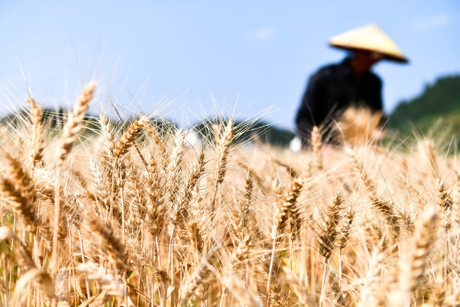
The unified map has also strengthened Qinghai's farmland protection efforts. According to the 2025 national land change survey, Qinghai had nearly 580,000 hectares of farmland by the end of last year, meeting its farmland protection target.
The province has also faced challenges such as overlapping farmland, forest and grassland management areas, as well as cases of "one plot with multiple rights or certificates". To mitigate these, Qinghai and provincial forestry and grassland authorities have jointly issued rules on land management attribute labeling and land classification during construction land approval. These measures are aimed at protecting farmers' rights while establishing a transition mechanism for resolving historical issues.
Chen said the long-term goal is to clarify the management of farmland, forest and grassland, prevent new conflicts and ensure restored or newly developed farmland remains stable and productive.



Editor's Pick